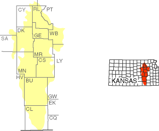
The Prairie and Flint Hills of Kansas
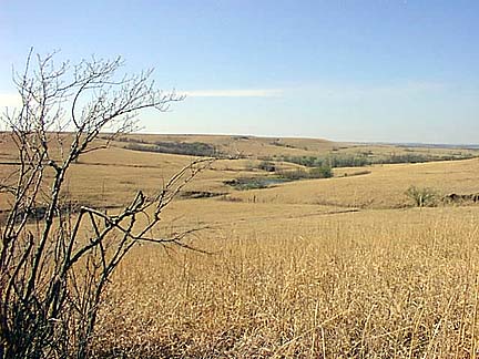
The Flint Hills, also called the Bluestem Hills, are the last remaining grand expanse of tallgrass prairie in America . . . The grasses can grow to ten feet, high enough that red men once stood atop their horses to see twenty yards ahead . . ." (William Least Heat Moon, PrairyErth)
The Flint Hills region, which runs north and south through east-central Kansas, is one of the few large areas of native prairie grassland left in the United States. The grassland that covers the Flint Hills once covered most of central and western Kansas and the surrounding states. When people moved in, the prairie in other areas became covered with farms and cities. Away from the roads and buildings, the Flint Hills region looks much as it did 10,000 years ago.
Photograph ©1997-2003 by Don Palmer
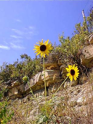
Although the Flint Hills region is known for its rolling grasslands, it is named for flint, a type of rock that is found embedded in the limestone that forms the hills. Flint, also called chert, doesn't erode as easily as the softer limestone. When the limestone at the surface is eroded by wind and water, it eventually breaks down into soil. The exposed flint is broken down into gravel, which mixes with the soil and makes the ground rocky.
When settlers first moved to Kansas, many of them passed the Flint Hills by. They wanted good farmland, and the rocky soil was too hard to plow. Because of this, the Flint Hills is still largely native prairie grassland, one of the last great preserves of tallgrass prairie in the country.
Photograph ©1997-2003 by Don Palmer
The beauty of this region can be enjoyed by driving the scenic skyline road west of Dover on K4 to K99 south of Alma. You feel as if you are on top of the world as the rolling hills and valleys stretch for miles in every direction.
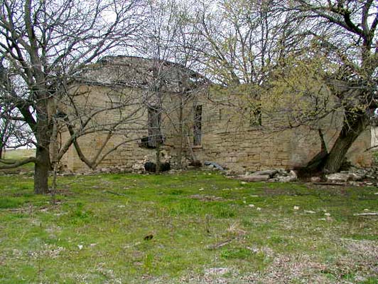
Old stone farmsteads built in the latter years of the 19th Century were resting places to offer food and lodging to travelers on the Southwest Trail, which joined the Oregon Trail at Topeka, and the Santa Fe Trail at Council Grove, Kansas. The route was also used for carrying military communications between Fort Leavenworth and Fort Riley during and after the Civil War. The journey is a picturesque roadway giving one a glimpse of pure native Kansas.
Photograph ©1997-2003 by Don Palmer
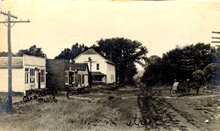
Dover, Kansas, came to be, perhaps as some of the travelers decided to stay instead of moving west. "Main Street" was the gathering place for commerce and visiting with neighbors, as is true of all emerging towns. Today, our town is considerably more modern. But you'll just have to visit!

Contact Prairie Flint Hills Chapter

Return to Home Page